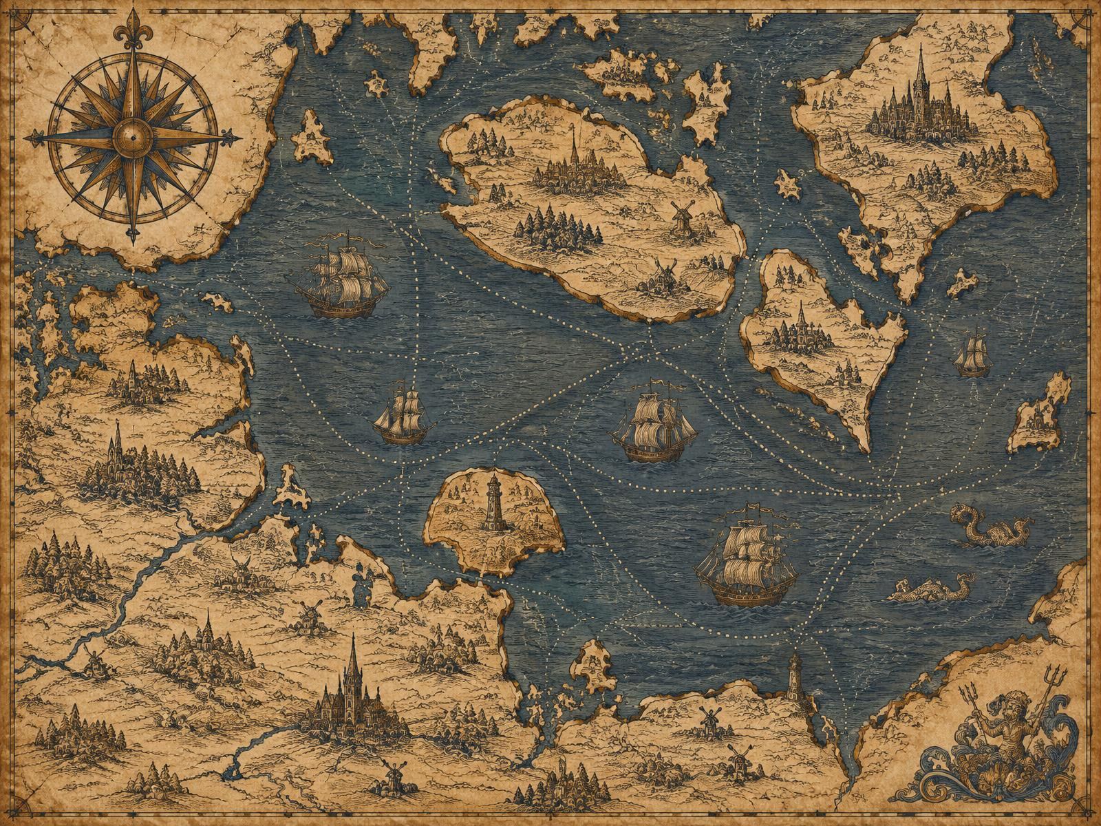
Geography Before Modern Transportation
The relationship between Germany and Denmark has always been shaped by water. Jutland is joined to the European mainland, yet most Danes live on islands. Zealand, home to Copenhagen, is separated from Jutland by the Great Belt and from the southern islands by narrow sounds. Lolland and Falster, in turn, face the German coast across open Baltic water. A traveller from Hamburg to Copenhagen before the modern era could either follow the long land route north and cross the Belts, or attempt a direct sea passage.
Neither option was easy. Roads were poor, and sea crossings depended on wind, currents and seasons. Winter ice occasionally closed the inner Danish waters. Geography thus made maritime transport essential, but also unpredictable — a tension that defined travel in the region for centuries.
Early Coastal Settlements
Settlements on both sides of the western Baltic grew where sheltered harbours, river mouths and fertile hinterland met. The Schlei inlet, the bays of Holstein and the Warnow estuary near present-day Rostock offered protected anchorages. Fishing communities, local boat traffic and coastal trade connected these places long before any formal route existed. Access to the sea was not a luxury: it was the main way to exchange goods over distance.
Viking Age Maritime Connections
During the Viking Age (roughly the late eighth to mid-eleventh centuries), the trading town of Hedeby — Haithabu in German — stood at the head of the Schlei near modern Schleswig. It linked the Baltic with the North Sea via a short overland portage and was one of the most important market places of northern Europe. Ships carried goods and people between Scandinavia, the Slavic Baltic coast and continental Europe.
It is tempting to draw a straight line from Viking voyages to today's ferry routes, but that would be misleading. Viking-era shipping followed trading opportunities and political alliances, not fixed crossings. What it does show is that the western Baltic was already a connected maritime world.
Medieval Maritime Trade
From the twelfth century, the Baltic economy expanded. German merchants founded and settled towns along the southern coast, and goods such as herring, salt, grain, timber, furs, wax and cloth moved between east and west. The herring markets of Skåne, then part of Denmark, drew merchants from across the region each autumn, making the Danish waters a hub of commercial activity.
The Hanseatic League
Lübeck, founded in 1143 and refounded under Henry the Lion in 1159, became the leading city of the Hanseatic League — a network of merchant communities and towns that dominated northern European trade from the thirteenth to the fifteenth century. Wismar, Rostock and Stralsund were among its Baltic members. The Hanse's relationship with Denmark was often tense: disputes over trade privileges led to war, ending with the Treaty of Stralsund in 1370, which confirmed extensive Hanseatic rights in Danish waters.
The Hanseatic period established patterns that would last: busy ports, recognised sea lanes and a constant flow of goods between the German coast and Denmark.
Maritime Transport Before Industrialisation
The cog, and later larger sailing vessels, carried cargo across the Baltic. Passengers usually travelled aboard merchant ships rather than dedicated passenger vessels. Departure depended on the wind; a crossing that took hours in good conditions might take days in bad weather. Travellers had to wait in port, negotiate passage and accept considerable risk.
The Importance of Danish Islands
Denmark's island geography made ferry crossings a domestic necessity as much as an international one. Crossings of the Great Belt, the Little Belt and the Storstrøm were part of everyday Danish life for centuries. Postal and royal ferry services connected the islands, creating a culture of organised sea passage that later extended to international links with Germany.
Early Passenger Transportation
By the eighteenth and early nineteenth centuries, postal routes increasingly relied on regular packet boats. These vessels carried mail, small parcels and a limited number of passengers on recognised routes. The arrival of steam in the 1810s — including the steamship Caledonia on the Copenhagen–Kiel route from 1819 — began to make such services genuinely regular. The story continues in From Steamships to Railway Ferries.
Historical Trade Routes
Trade routes influenced which ports thrived. Harbours with good hinterland connections — rivers, then roads, later railways — attracted more traffic. Kiel, Lübeck and Rostock grew because goods could move onward easily. On the Danish side, Copenhagen's position on the Øresund made it the natural destination of most traffic from the south.
From Irregular Voyages to Scheduled Services
The decisive change came when transport could be planned. Steam engines freed vessels from the wind, railways delivered passengers to the quay at fixed times, and governments and railway companies began to coordinate services. By the early twentieth century, crossing from Germany to Denmark had become something that could be printed in a timetable — the forerunner of today's germany denmark ferry schedule.