Scandlinec
Menu
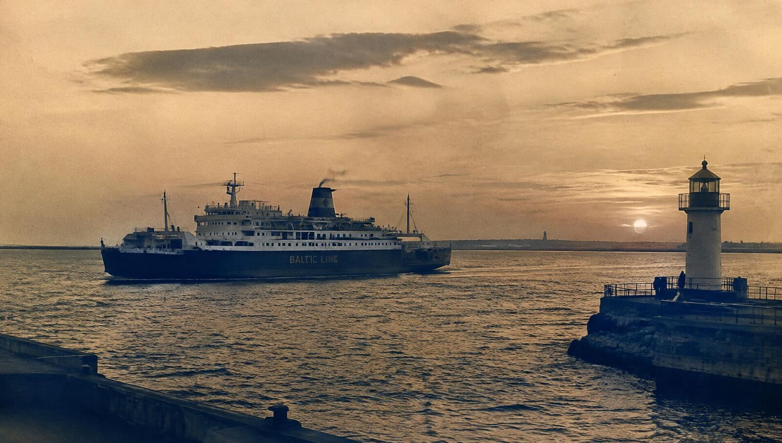
Historic car and rail ferry leaving a Baltic harbour at dusk beside a lighthouse

The History of Ferry Connections Between Germany and Denmark

Two Countries Connected by the Sea

Discover how centuries of trade, travel and technological innovation shaped ferry transportation between Germany and Denmark.

Chapter I

Why Ferry Connections Were Necessary

A glance at a map explains much of the story. The German state of Schleswig-Holstein and the Danish peninsula of Jutland are joined by land, but the heart of Denmark — Copenhagen, Zealand, and the southern islands of Lolland and Falster — lies across the water. Between the island of Fehmarn and Lolland stretches the Fehmarn Belt, roughly 18 kilometres wide. Further east, the Kadetrenden channel separates the Mecklenburg coast around Rostock from Gedser on the southern tip of Falster.

The western Baltic Sea has therefore always been both a barrier and a highway. For travellers going overland, the journey from Hamburg to Copenhagen once meant a long detour north through Jutland and across the Great Belt and Little Belt — themselves crossed by ferry until the twentieth century. The direct line south-to-north across the Baltic was far shorter, but only if a vessel could carry people and goods across it.

Maritime transport was the natural answer. Medieval merchants moved grain, timber, salt, fish and cloth between Baltic ports long before any timetable existed. As trade grew, so did the need for predictable crossings: merchants wanted to know when goods would arrive, postal services wanted fixed departure times, and later, railway companies wanted carriages to continue their journey without unloading.

Steam propulsion in the nineteenth century made scheduled services realistic, freeing ships from the wind. Railway ferries followed, beginning on the Germany–Denmark corridor with the Warnemünde–Gedser link in 1903. After the Second World War, the rise of the private car transformed demand once again, leading to the opening of the Vogelfluglinie and the Puttgarden–Rødby ferry in 1963.

Each stage answered the same fundamental need: to move people and goods across a stretch of sea that separates two closely connected neighbours. The history of the Germany–Denmark ferry is, in that sense, the history of turning an irregular voyage into an everyday crossing.
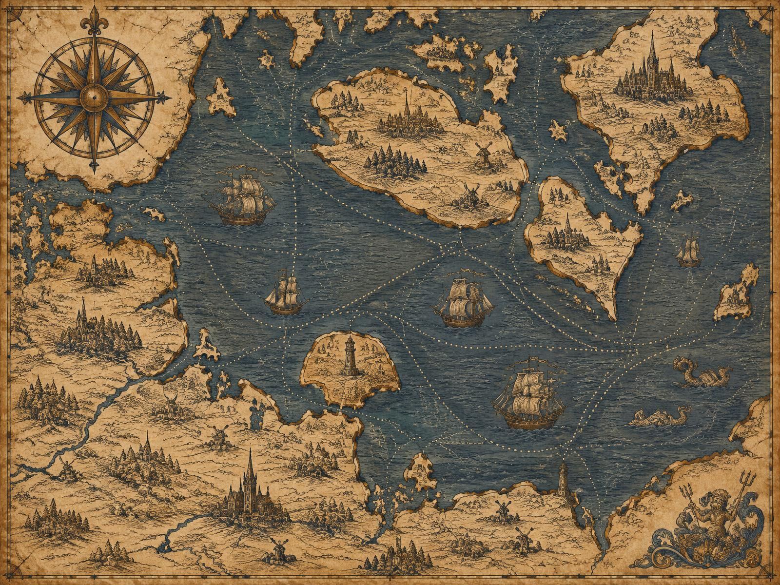
Vintage-style map of the western Baltic Sea with Fehmarn, Lolland, Falster and Zealand
Illustrative map of the western Baltic in antique style.

Chapter II

A Shared Maritime History

Germany

Northern Germany's Baltic coast is lined with historic ports — Lübeck, Wismar, Rostock, Stralsund and Kiel. Lübeck became the leading city of the Hanseatic League, whose merchants dominated Baltic trade from the thirteenth to the fifteenth century. Industrialisation in the nineteenth century brought shipyards, harbour works and a dense railway network, so that by 1900 German railways reached the coast at Warnemünde and Großenbrode, ready to meet ships bound for Denmark.

Denmark

Denmark is a nation of peninsula and islands — more than four hundred of them. For centuries, internal travel itself depended on ferries across the Great Belt, the Little Belt and the Storstrøm. Links to continental Europe ran south through Jutland or directly across the Baltic. Danish State Railways (DSB) operated many of the country's ferries, and the southern islands of Falster and Lolland became natural gateways towards Germany.

Chapter III

Historical Timeline

  1. c. 800–1050

    Viking Age seafaring

    Hedeby (Haithabu) near Schleswig flourishes as a trading town linking the Baltic and North Sea worlds.

  2. 1143 / 1159

    Lübeck founded and refounded

    The city becomes the leading centre of what develops into the Hanseatic League.

  3. 1819

    Steam reaches Danish waters

    The steamship Caledonia begins service between Copenhagen and Kiel, among the first regular steam routes in the region.

  4. 1903

    Warnemünde–Gedser railway ferry

    A rail ferry link opens between Mecklenburg and Falster, connecting Berlin and Copenhagen by train.

  5. 1951

    Großenbrode–Gedser

    A post-war ferry route from Holstein to Gedser carries rail and road traffic.

  6. 1963

    Vogelfluglinie opens

    The Fehmarnsund Bridge and the Puttgarden–Rødby ferry open, creating the direct Hamburg–Copenhagen corridor.

  7. 1998

    Scandlines formed

    The ferry operations of DSB and the German Deutsche Fährgesellschaft Ostsee are merged.

  8. 2019

    Rail passengers rerouted

    Passenger trains stop using the Puttgarden–Rødby ferry at the December timetable change.

Chapter IV

Two Important Ferry Connections

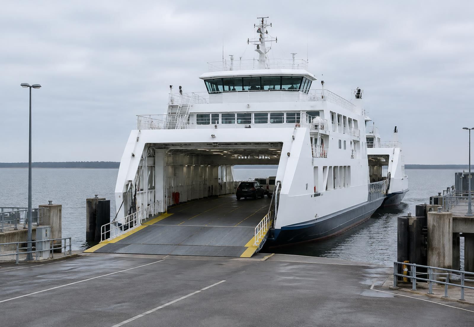
Double-ended car ferry loading vehicles at a flat Baltic terminal

Puttgarden ↔ Rødby

Fehmarn (Germany) to Lolland (Denmark) · approx. 18 km · about 45 minutes

Opened in 1963 as the sea link of the Vogelfluglinie, the shortest direct crossing on the Hamburg–Copenhagen route, once carrying entire international trains.

Read the full history →
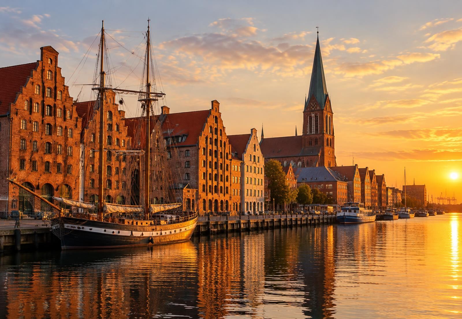
Historic brick gabled warehouses and church spire on a Hanseatic waterfront

Rostock ↔ Gedser

Mecklenburg (Germany) to Falster (Denmark) · approx. 2 hours

Heir to the 1903 Warnemünde–Gedser railway ferry, a link that endured through two world wars and the division of Germany.

Read the full history →

Chapter V

The Evolution of Ferry Transportation

Early steam packets carried passengers, mail and small cargo. The railway age demanded something more ambitious: vessels with tracks on deck, harbours with adjustable linkspans, and timetables coordinated with international express trains. Railway ferries allowed a sleeping car to leave Berlin in the evening and arrive in Copenhagen the next morning without passengers changing trains.

From the 1950s, road traffic became the driving force. Ferries gained wide vehicle decks and drive-through bow and stern doors. Terminals were laid out like motorway junctions, with check-in lanes and marshalling areas. Today's modern ferry transportation continues this evolution with hybrid propulsion and digital booking, while the planned Fehmarn Belt fixed link raises new questions about the future of the crossing.

Frequently Asked Questions

+Why were ferries developed between Germany and Denmark?

The Danish islands of Lolland, Falster and Zealand are separated from the German mainland by open Baltic water — the Fehmarn Belt and the Kadetrenden. Before bridges and tunnels, regular ferry crossings were the only practical way to move trains, vehicles, goods and people directly between Copenhagen and northern Germany.

+How did people travel before modern ferry services?

Before steam navigation, travellers relied on sailing vessels whose departures depended on wind and weather, or took long overland routes through Jutland and Schleswig-Holstein. Steamships from the 1810s onwards made crossings faster and more predictable.

+What is the Vogelfluglinie?

The Vogelfluglinie (Danish: Fugleflugtslinjen, 'bird flight line') is the direct road and rail corridor between Hamburg and Copenhagen via Fehmarn, Puttgarden, Rødby and Lolland. It opened in May 1963 and takes its name from the migration route of birds across the same waters.

+When did automobile ferries become important?

Car traffic grew rapidly after the Second World War. Post-war ferries such as the Großenbrode–Gedser service (from 1951) and the Puttgarden–Rødby route (from 1963) were designed to carry road vehicles alongside rail traffic.

+Why is Puttgarden–Rødby significant?

It is the shortest sea crossing on the direct route between Hamburg and Copenhagen, about 18 km across the Fehmarn Belt, and has been one of the busiest ferry links in the Baltic since 1963.

+Why is Rostock–Gedser important?

It continues a tradition dating to the Warnemünde–Gedser railway ferry of 1903 and links Berlin and eastern Germany with Falster, Zealand and Copenhagen.

+How have modern ferries changed international travel?

High-frequency, double-ended vessels, digital booking and integrated road corridors made crossing between Germany and Denmark a routine part of European travel rather than an occasional voyage.