Chapter I
Why Ferry Connections Were Necessary
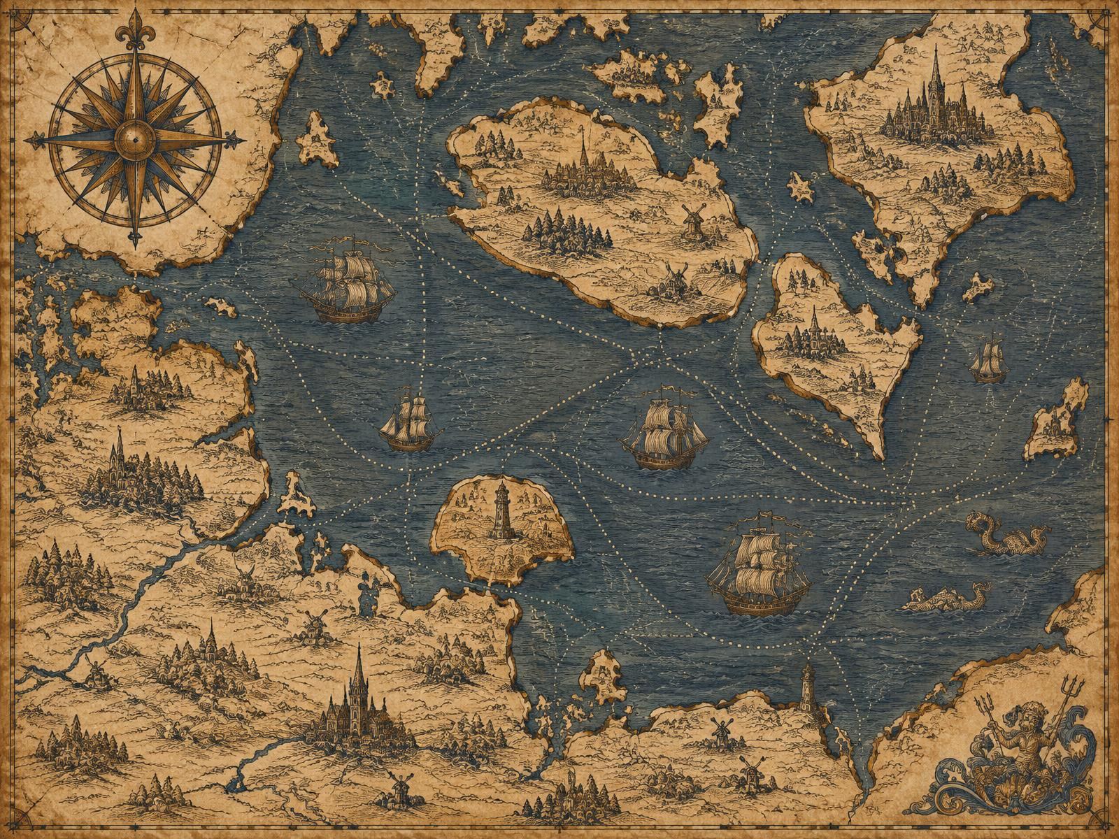
A glance at a map explains much of the story. The German state of Schleswig-Holstein and the Danish peninsula of Jutland are joined by land, but the heart of Denmark — Copenhagen, Zealand, and the southern islands of Lolland and Falster — lies across the water. Between the island of Fehmarn and Lolland stretches the Fehmarn Belt, roughly 18 kilometres wide. Further east, the Kadetrenden channel separates the Mecklenburg coast around Rostock from Gedser on the southern tip of Falster.
The western Baltic Sea has therefore always been both a barrier and a highway. For travellers going overland, the journey from Hamburg to Copenhagen once meant a long detour north through Jutland and across the Great Belt and Little Belt — themselves crossed by ferry until the twentieth century. The direct line south-to-north across the Baltic was far shorter, but only if a vessel could carry people and goods across it.
Maritime transport was the natural answer. Medieval merchants moved grain, timber, salt, fish and cloth between Baltic ports long before any timetable existed. As trade grew, so did the need for predictable crossings: merchants wanted to know when goods would arrive, postal services wanted fixed departure times, and later, railway companies wanted carriages to continue their journey without unloading.
Steam propulsion in the nineteenth century made scheduled services realistic, freeing ships from the wind. Railway ferries followed, beginning on the Germany–Denmark corridor with the Warnemünde–Gedser link in 1903. After the Second World War, the rise of the private car transformed demand once again, leading to the opening of the Vogelfluglinie and the Puttgarden–Rødby ferry in 1963.
Each stage answered the same fundamental need: to move people and goods across a stretch of sea that separates two closely connected neighbours. The history of the Germany–Denmark ferry is, in that sense, the history of turning an irregular voyage into an everyday crossing.